Eling Way
The Eling Way rural active travel route.

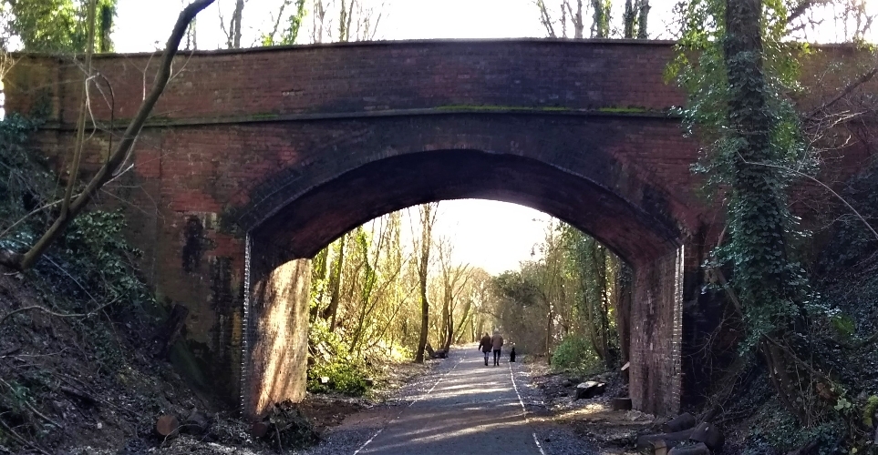
The Eling Way shared use path provides a signed, low-traffic link for considerate cycling, horse-riding, walking and wheeling between Hampstead Norreys and Hermitage.
Background
The Eling Way initiative came from early work by local cycling organisation West Berkshire Spokes. It was delivered through partnership working involving:
- West Berkshire Council
- National Highways
- Eling Estate
- Hermitage and Hampstead Norreys Parish Councils
- Sustrans
- West Berkshire Spokes
First section open in 2020
In February 2020, the initial 3-kilometre section opened between Hampstead Norreys and Pinewood Crescent beside Hermitage Village Hall. This section mostly uses part of the former Didcot, Newbury and Southampton Railway. The railway was opened in 1882 and closed in 1964. The former railway land north of Hermitage through to Hampstead Norreys is now owned by Eling Estate.
2025 extension
In 2025, the route was extended by 1km within Hermitage village. This extension was constructed using a contribution from the Rural England Prosperity Fund and input and assistance from Eling Estate and Hermitage Parish Council. It allows for future continuation south via a path through two planned new housing sites.
Managing the route and future plans
The off-road route section is managed by West Berkshire Council's Public Rights of Way team, working with landowners. The route is well-used, with sensors logging 185 pedestrians and 40 cyclists using the route in a typical 12-hour period.
There are local aspirations to extend the Eling Way, in stages, north and south (reflected in the adopted Local Transport Plan 4, the emerging Rights of Way Improvement Plan and the Hermitage Neighbourhood Plan).
The objective is to encourage and enable active travel between villages including Hermitage, Curridge and Compton, the amenities and opportunities in Newbury, and ultimately Didcot.


